It took me 11:02. My GPS said 9700 feet of climb, but that's probably high. It was more like 7900 feet according to everyone else.
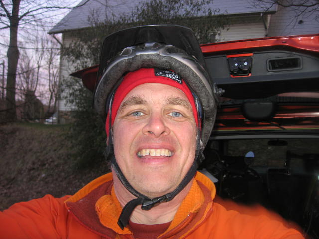
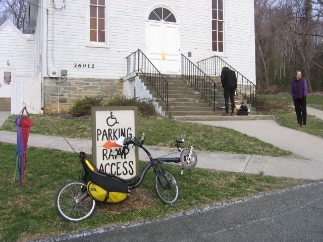
The start was at a church parking lot in Hyattstown, MD. There is nobody else in the picture due to the fact that I am 10 minutes late getting on the road as usual.
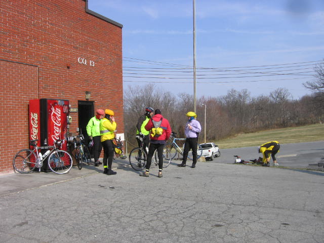
The first control was at the volunteer fire department in Rocky Ridge, MD. See the motley bunch of randonneurs loitering out front.
Next comes the quaint town of Thurmont. Which fills all cyclists with dread, because the long, long climb over the Catoctin ridge is imminent.

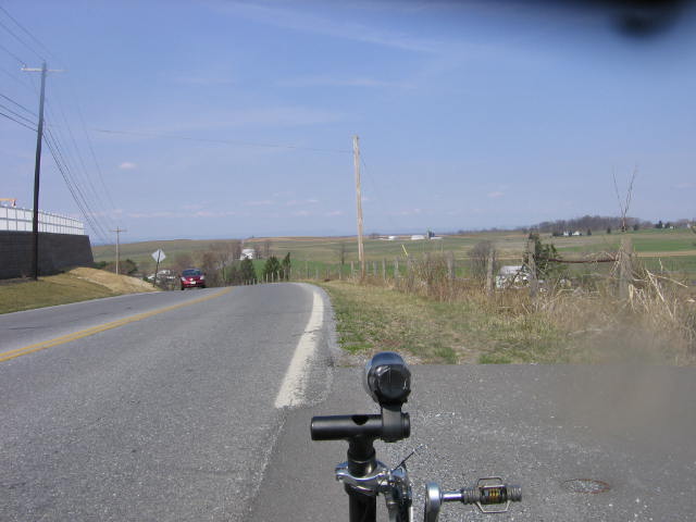
After you blast down the other side, you get to Smithsburg. This picture is right outside. It's rolling hills like this for about 20 miles to State Line, PA. There was a stiff, cold headwind for this leg, which is all farms and no trees to block it. I gained a bit on all the folks riding upright bikes.
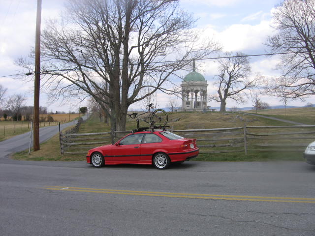
Here is the view from the Secret Control, in Antietam National Battlefield. It's not every day you see a bitchin' M3 with a bike on top.
This was about mile 70. I'd eaten two bananas and two Gatorades at this point, and the fuel reserves were getting low. There were two big climbs coming up, one to Gapland, and one to Mountville.
Just five miles farther the fuel problem was solved. It's the secret weapon. The lifesaver which allows brevets to be completed with strength in comfort. Sheetz Macaroni and Cheese. Yum. Hot and delicious in Williamsport.
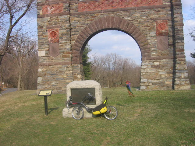
Here is the big monument to Civil War newspaper reports in Gapland. This is at the top of the big steep climb. I've never climbed it from the west, so the whole time I thought I was lost and I couldn't figure out where I was. When you go the other way, it goes by so fast you don't see anything.
I got in at 6:00, with plenty of light left, feeling good.
Here's the map, with the track recorded by the GPS. Click to enlarge

7 comments:
Ah yes, Your GPS uses TOPO database to determine elev gain? Here in the western US TOPO can be wildly inaccurate. One route I have, TOPO says 16,000. In reality, 6500 according to real altimeters. TOPO doesn't account for cuts & fills in the road or the fact that you're not crossing the river by boat... your on the bridge...or that you're not on the cliff you just went by. For kicks get another altimeter that uses barometric data and compare the 2 on a ride... And of course hopefully there isn't a significant pressure gradient that day.
What GPS system are you using, which maps? Are you using a PDA? BTW, I can't see your trail line on the map, or am I missing the obvious? I've used a Garmin on hikes in that area and it has been pretty accurate, but I generally don't go over any rivers, and, as far as I'm concerned, there are no cliffs.
Hi Cham,
I have 2 GPS units, a Garmin eTrex Vista C, and an Edge 305.
I'm using Garmin's Topo map. No PDA
The trail line is skinny and black. I notice it's harder to see on my laptop vs. a desktop with a big monitor. Is your screen low-res? If so let me know so I can make the images better next time.
Hmmm, I use the National Geographic TOPO Software and get pretty accurate data when I build profiles. My Geko 301 usually gives pretty accurate elevation data as well, but I have never used it on a bike. I have heard some of those fancier wrist-watch based altimeters are extremely accurate.
I went back and looked at your map more closely and I do see the thin black line. As you can see from my blog, I am partial to thick red, yellow and blue lines.
Hi Drew,
I showed up 20 minutes late to the brevet on Saturday and finished about an hour after you did, so I missed you. Beautiful weather we had...I actually had fun on the climb out of Thurmont, I felt really strong.
Lou
"Joe Braun's Brother-in-Law"
Lamoureux
I have worked out the profile of the course using National Geographic topographic maps on a Macintosh computer. I find 7,700 cumulative climb.
However, my altimeter (Nike) said 4,385. In the past, results from National Geographic maps have proven to be quite reliable.
Bernard
Looks like you had a good day - very cool riding out your way with all the historical stuff :-). Is my idiot friend Kit riding with you folks again this year?
Post a Comment