Saturday, I rode the DC Randonneurs 400k Brevet.
It took me 20 hours and 48 minutes, to go 251 miles. The ride started at 4:00 am.
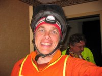
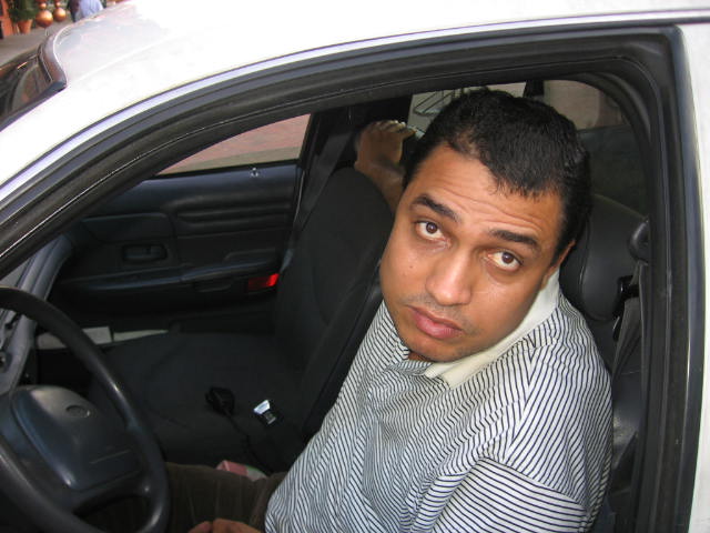
For me, the body holds up OK, but the mind goes. I do stuff like forget to zip up my pannier when I leave the convenience store. My camera is somewhere between Arendtsville, PA and the point outside Thurmont, MD where you have to flip over the cue sheet. That's where I realized the pannier was hanging open and there was no camera.
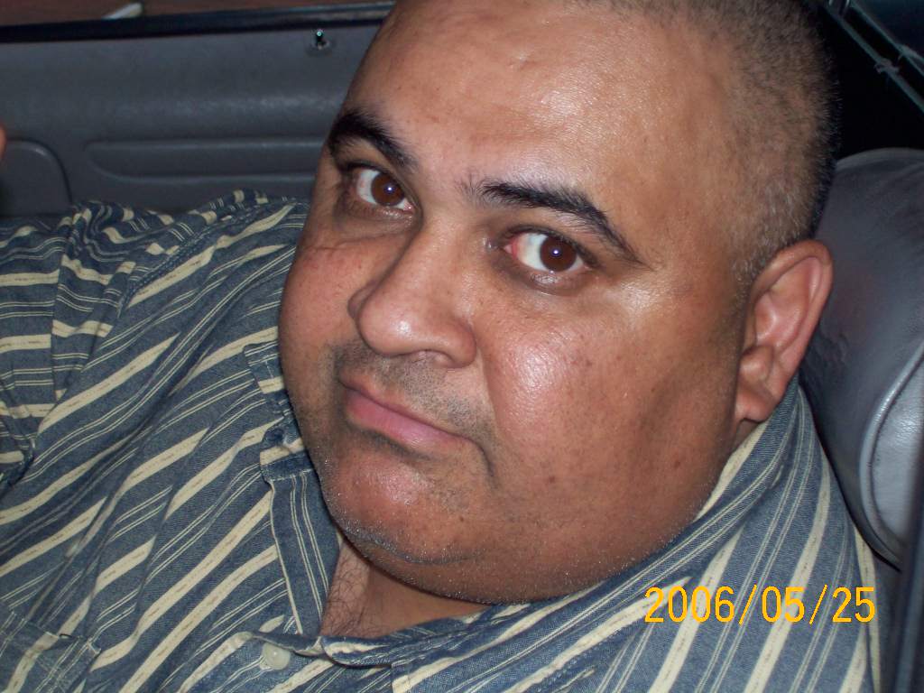
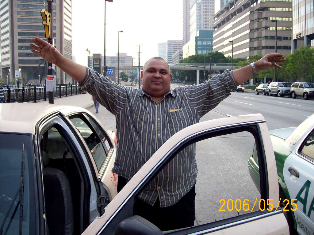
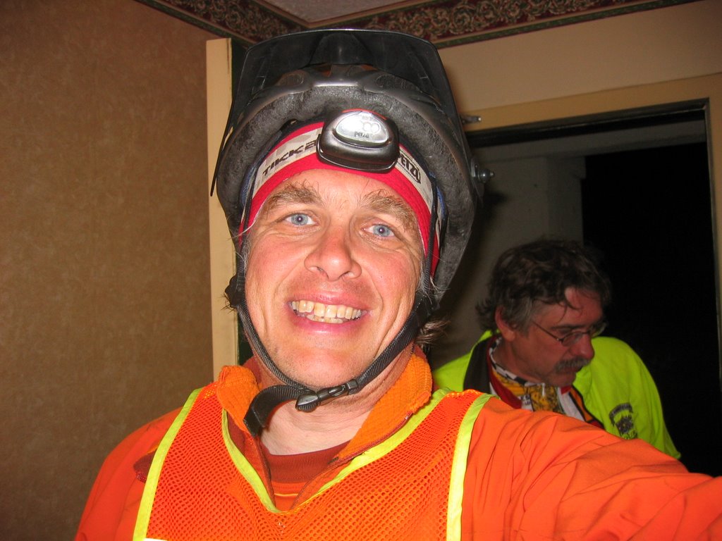
So thanks to my fellow Randonneur Bill Beck, who let me photograph myself with his camera and mailing me the picture.
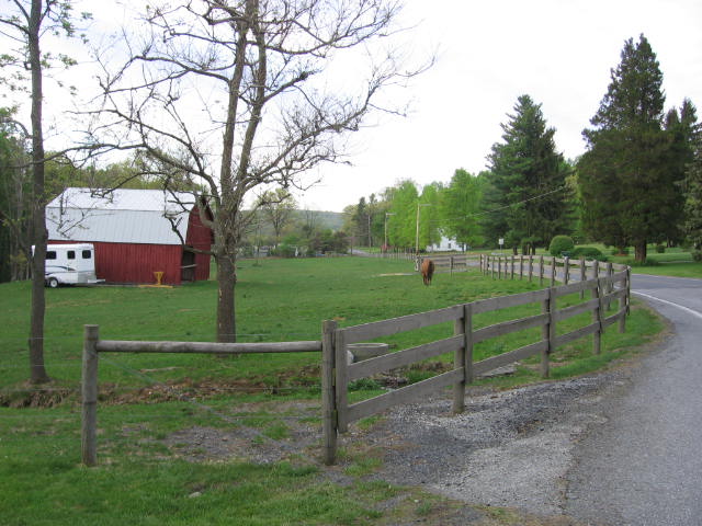
I'm going to make do for this blog entry with no pictures. I'll just pretend there are pictures and describe them in words.
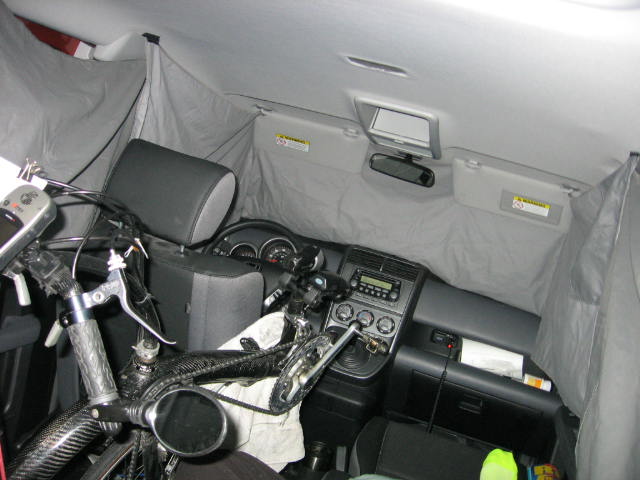
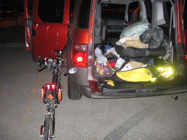
picture of the "campsite". Interior of Debra's Element seen from the passenger side rear looking forward. privacy curtains hang over the windows. The passenger side front and rear seats are folded into a cot with a lumpy sleeping bag on it. Clothes are strewn about and draped over my recumbent bike, which occupies the driver's side of the rear of the E.
I slept in the back of Debra's Element, as usual. No problems with the police this time, since I avoided parking lots, and parked on the street in a little residential neighborhood across the street from the Holiday Inn, behind the Red Horse restaurant. It was cozy and quiet.
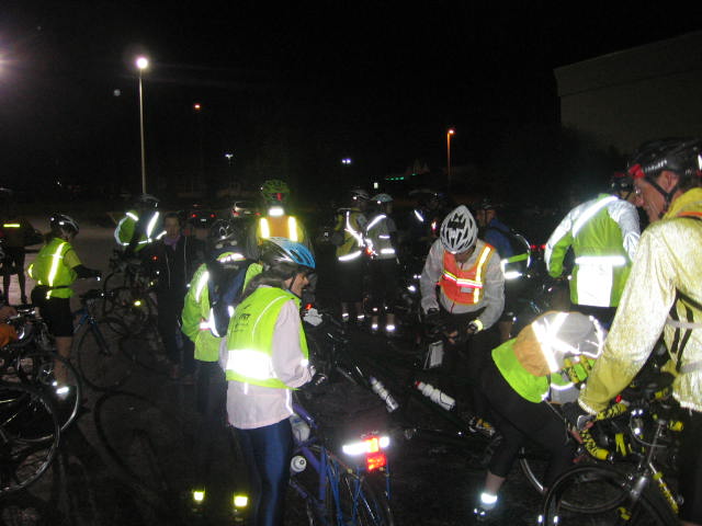
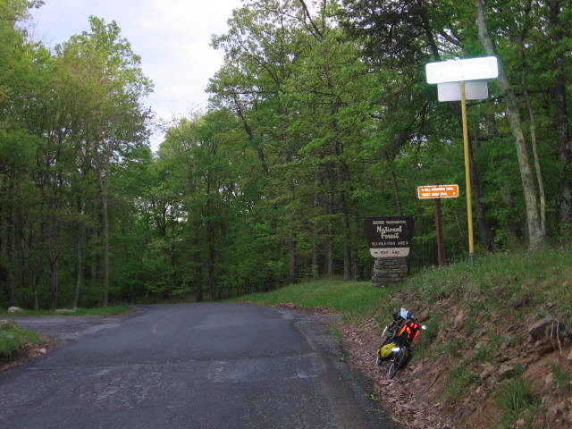
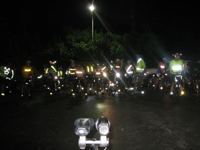
Here are the intrepid 400k riders, at 4:00 am, about to leave from the Frederick, MD Holiday Inn parking lot.
all black picture with a constellation of red, orange, and yellow lights, caused by the camera flash reflecting from everyones taillights, arm and leg bands, vests, and stick-on tape. If you look really hard you might see dim silouhettes of people on bikes.
It was raining lightly when we left, but it soon cleared up, and the day turned out to be beautiful, with temperatures in the 60s. There was a very strong wind from the west in the afternoon.
The route headed south from Frederick, across the Potomoc into Virginia at Point of Rocks, to Airmont. It was flat and speedy, easy cruising as the sun came up. After Airmont, the route turns east and you climb up to Bluemont and over Snickers Gap. Then there is a screaming descent to the Shenandoah river. I hit an all-time speed record on the Royale of 42 mph. I was riding the brakes. I am a big chicken on high speed descents. My all-time high speed on the T-Bone is 48 mph.
After the Shenandoah, you turn north and go through West Virginia to Shephardstown. This leg is also flat and smooth sailing. I was having fantasy visions about how early I was going to finish because I was making such great time.
I've never been to Shepherdstown before. It's gorgeous. It's really old and historic. It has a great downtown with lots of interesting shops.
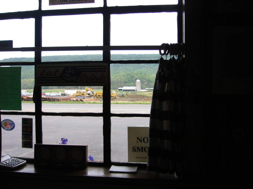
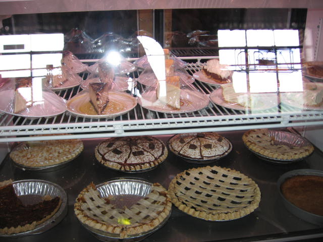
Here is a picture of the Shepherdstown control, conveniently located in a pastry shop.
picture of an attractive restored Victorian storefront with a bunch of bikes leaning against it. A couple sweaty bikers are loitering around fiddling with stuff in their trunk racks. If you look through the window of the sweet shop, you can see more sweaty bikers sitting at tables stuffing their faces with sticky buns and muffins.
I passed on the pastries, because I knew there was a Sheetz just a short way ahead in Williamsport.
picture of gas pumps with a crappy 1980s Pontiac LeMans with West Virginia plates getting filled up. In background is a convenience store with the garish red and yellow Sheetz awning on top.
Sheetz. Fuel. Yum.
picture of sleek, low, carbon fiber recumbent leaning on picnic table in park. Sheetz in background. On top of picnic table is a quart of Gatorade in the most unnatural color available, a hot ham and swiss soft pretzel sandwich, and a big bowl of macaroni and cheese.
After Williamsport, the hills start. The route goes along the Potomoc, in and out of a bunch of valleys to Fort Frederick State Park.
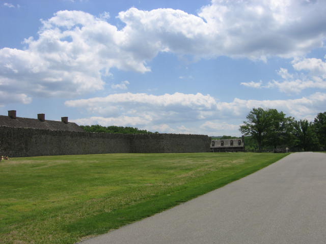
Fort Frederick is cool. It's from the French and Indian War, built to guard the frontier from the savages.
picture of a big stone wall about 20 feet high.
The control was in the gift shop across from the fort.
picture of a very old two-story building. A bunch of bikes are leaning on picnic tables out front. People are milling about in period costumes from the frontier days. Unfortunately, none of them are semi-naked native Americans or hairy French trappers. (They need to be more creative in these historical reproductions, I say.) A big fat jerk is sitting on the porch smoking a cigar and polluting the air that everyone is breathing with cancerous death fumes.
From Fort Frederick, the road heads north into some hills past Whitetail Ski Resort and Indian Springs. It's very scenic, but you have a little steep pass to climb to get to Pennsylvania. You come screaming down the other side and emerge into a broad valley with a howling crosswind.
Here comes the big surprise challenge. At Mercersburg, I discovered I was low on water. There is no convenience store in Mercersburg, just a pizza shop. But according to the cue sheet, there is a store about 10 miles ahead. I decided to press on and have a snack and a Gatorade at that store, and refill water there.
The store was closed.
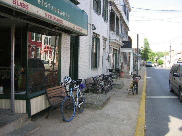
The next store was the control at Pino's Pizza in Newville in 30 miles.
I rode it. It was flat, and there was a tailwind. That's a long way with no water, though. I was pretty parched when I got to Pino's. And I wasn't the only one who arrived at Pino's thirsty, either.
picture of a pizza joint in an old storefront. Down the street are a bunch more similar storefronts. There are bikes leaning all over.
It turned out just fine. I had a couple pizza slices and a couple bottles of water and I was refreshed and ready to go. And filled with dread, because the biggest climb of the ride was coming up: Big Flat.
I had some discussion about this with my fellow Randonneurs at Pino's. Ed and Mary, for example, said there was no big climb, and the route did not go over Big Flat because all the construction made the descent to dangerous, especially if it was dark. But I had mapped the route beforehand, and I was pretty sure that while the route did not go quite all the way up to Big Flat, it went almost to the top, and while it didn't go up the absolute steepest part by the top, it still went up a great deal, and it was not going to be easy coming 190 miles into the ride.
It was about 5:30 at this point. I was hoping to get over whatever the climb was and down the other side before dark.
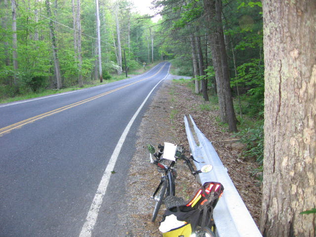
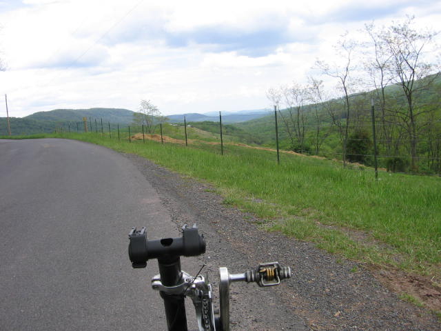
As it happens, there is a double peak, and the last parts before the peaks are very steep, but most of the time you riding up a valley alonside a stream. It's kind of a soul-crusher, because the road climbs steadily and evenly, and it looks flat.
picture of narrow road through forest that appears to be flat.
But I could only go about 8-10 miles an hour. And the sun kept going down. Was I climbing, or just really, really weak from going 40 miles with no water?
It was climbing. I got down the other side into Arendtsville right as it was getting dark and cold. I had a Gatorade, and put a couple layers and set up the lights and reflective bits. Forty miles to go!
After Arendtsville, the route goes into the Gettysburg battlefield. I missed the unmarked turn onto a nearly invisible side road, and went down a hill, over bad railroad tracks, and almost into town before I realized something was up, and I had to go back up the hill.
At the Gettysburg control, I started riding with Bill Beck, who followed me the rest of the way in. This was very helpful, because twice the light made it much easier to deal with the occasional unstriped roads.
We got in just before 1:00 am, and I was sound asleep in the back of the Element by 1:30.
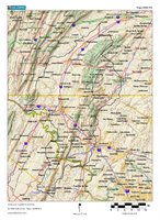
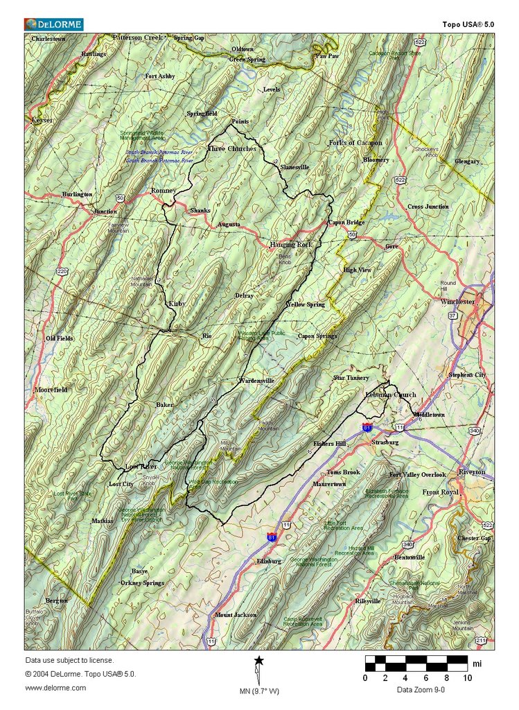
All in all, this was a very scenic and excellent ride. I recorded something like 16000 feet of climb on the ever-generous Garmin GPS.
Here the track of the route as recorded by the GPS. Click to enlarge.
Here's a link to the ride on
MotionBased.
I just tried downloading the MotionBased record and viewing it in
Google Earth, which you have to download and install. THIS IS INCREDIBLY COOL!


